Latest News on The London 3D Project
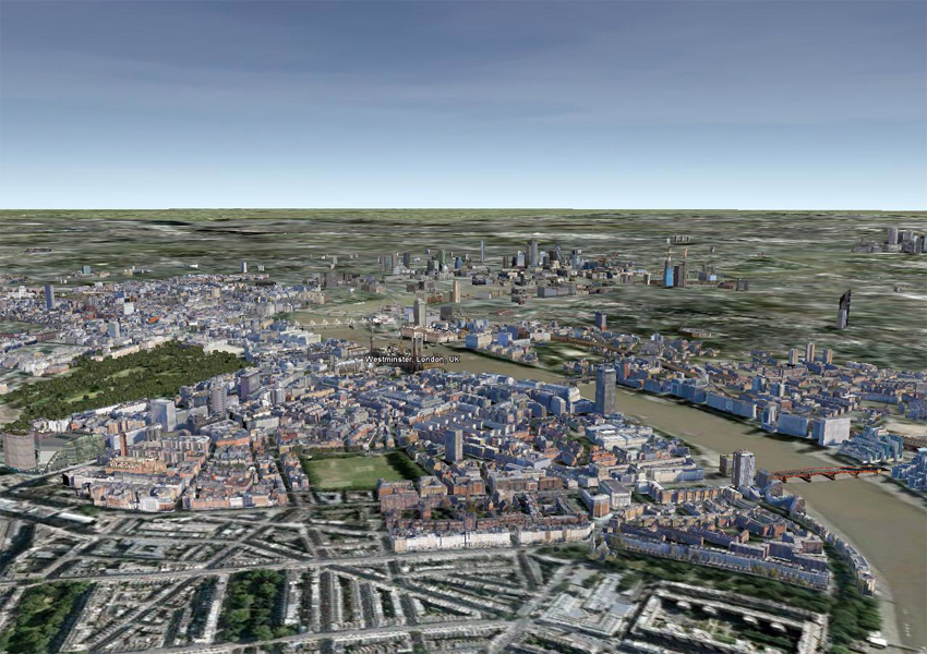
March 28th 2011 @ 12:30 pmLast December we interviewed Jack Broad and Mads Palsbøll about ‘The London 3D Project‘ and the challenging task they set themselves in modeling London in 3D using SketchUp and Google Earth. Well let me tell you… they have been busy. Jack and Mads, with their team of volunteer modelers have managed to complete and upload 250+ models into the London area. Pretty astonishing. We have a few before and after snapshots of London and how it looks now.
And this is London March 2011, with some of the teams models.
We will continue to update on this truly inspiring project and we are sure by the time the London Olympics arrives here in London in 2012…..it will be built! Please note that If you are interested in volunteering your time and modeling skills in this, please visit the London3Dproject website. Jack and Mads could still use extra modelers to help push this project forward, so come on over and join the team. This is your opportunity to be part of the 3D building of London on Google Earth.
Comments
3 Responses to “Latest News on The London 3D Project”
Got something to say?


i must say mind blowing.
great project..a lot of hard work but well worth it.
May I ask what modeling method do you use? Photogrammetry, modeling of the map layout, laser scanning buildings, or some other? I collect information about the modeling methods of historical city centers.
Thanks for the answer…